
Page 37 - CIWA AR25
P. 37
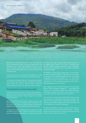
View from the Field: Milly Mbuliro


          Mbuliro also saw the devastation in Kisumu, near Lake Victoria, that   the FFEWS, which relies on satellite-based rainfall forecasts from

          spring. “People fled their homes. They went to camps. Schools were   the  Global  Forecast  System  and  its  data  on  atmospheric  and
          abandoned.  Health  centers  were  abandoned.”  Parts  of  the  city   land-soil  variables,  including  temperatures,  winds,  precipitation,
          around the lake were submerged for more than a month because of   soil moisture, and atmospheric ozone concentration using remote

          backwater effects (when water backs up or can’t flow downstream)   sensing technologies.
          from Lake Victoria.
                                                             The  FFEWS  then  interprets  how  different  parts  of  the  Nile  Basin
          “When you see that, you are moved to do something. . .to warn   are  likely  to  respond  to  rainfall  forecasts,  based  on  such  factors
          people to stay away or to protect the communities,” she says.  as whether the area is already saturated with water, large enough
                                                             to  absorb  the  rain,  and  has  vegetation  or  is  on  a  slope.  Finally,


          The rains kept coming later that year.  In Ethiopia in the fall rainy   it  forecasts  how  severe  the  flash  flood  will  be  and  the  time  it  is

          season, Mbuliro saw deep gullies created by flash floods, splitting   expected to occur. The system updates information every 24 hours,

          farms  in  half.  “People  told  me,  ‘We  are  unable  to  access  our   releasing forecasts for the next 48 hours.
          farmland. We lost our cattle. The water came without warning.’ ”
                                                             Before  deploying  the  NB-FFEWS  through  the  NB  data  portal,
                                                             Mbuliro’s  team  developed  a  strategy  to      operationalize  the
          The development of a life-saving system

                                                             system  to  fit  into  countries’  existing  early-warning  information
          Flash flood early-warning systems can have a dramatic impact—  dissemination channels and trained country experts on how to

          saving lives, protecting health, and safeguarding livelihoods by   access the system and interpret technical information.
          mitigating  adverse  impacts  of  floods  on  agriculture  and  other


          economic activities.                               A  critical  link  in  the  chain  from  the  NB-FFEWS  issuing  a  flash-

                                                             flood  forecast  to  communities  receiving  the  warning  is  the
          Before  the  NB-FFEWS,  NBI  produced  seasonal  forecasts,  which   capacity of national governments to distribute information using

          have limited use because of the sudden nature of flash floods. “Now   channels such as SMS messages, email, and national radio and

          we can warn communities with specific information on the location,   TV. But Mbuliro says it doesn’t always happen.


          magnitude, and time of the expected flash flood,” Mbuliro says.
                                                             “We still have challenges,” she says. “It breaks my heart when the

          To develop the system, the NELSAP-CU first worked with the NBD   information does not reach the community in time. . . . I want to


          and Nile Basin country experts to identify and map flash flood-prone   be part of the solution to reduce economic loss and loss of lives

          areas. Then Mbuliro’s team, supported by consultants, developed   caused by floods. That’s what drives me.”
                                                                                                           37