
Page 27 - CIWA AR25
P. 27
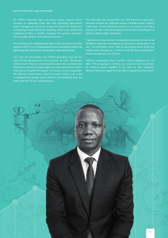
View from the Field: Longa Seme Isaiah


           His  ENTRO  internship  had  a  profound  impact.  Isaiah’s  cohort   The internship also showed him that “GIS improves cooperation

           focused  on  analyzing  flood  risk  and  improving  data-driven   because it helps you delineate areas of transboundary waters,

           water management decisions. It gave him hands-on experience   Isaiah says. “It was a defining moment in my career,” fostering a
           in hydrological and hydraulic modeling, which uses rainfall and   regional mindset and encouraging cross-border coordination to

           hydrological  data  to  predict  flooding  with  greater  precision,   address shared water challenges.
           offering daily, weekly, and seasonal forecasts.
                                                              “I learned the importance of cooperation and why it is key for all
           The internship also deepened his skills in GIS, a powerful tool that   Nile Basin countries to embrace and promote collaboration,” he
           supports WRM by providing spatial analysis capabilities, enhancing   says. His internship cohort “was so passionate about improving
           data integration, and improving decision-making processes.  collaboration among our countries” and still shares information
                                                              and knowledge with one another.
           “We  take  the  information  that  ENTRO  generates  and  use  the

           same GIS to cascade down to local areas,” he says. “The beauty   “Without cooperation, there could be conflict leading to war,” he
           of GIS is that it helps us understand the areas that are likely to be   adds. “We are going to convince our countries that “to prosper,
           affected by floods so that people can take precautions—either   we  need  to  come  together.  If  you  want  to  have  long-term

           evacuate or mitigate the impact” such as by constructing dikes.  development, work together. If you want to lag behind, work alone.”
           The  Ministry  disseminates  flood  forecasts  online,  over  email

           to humanitarian groups, and to farmers and residents over the
           radio, national TV, and mobile phones.


                                                                                                           27